
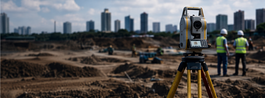
Precise Surveying.
Optimal Engineering.
Practical Solutions.
Request Proposal
and project consultancy services for,
construction and infrastructure projects.
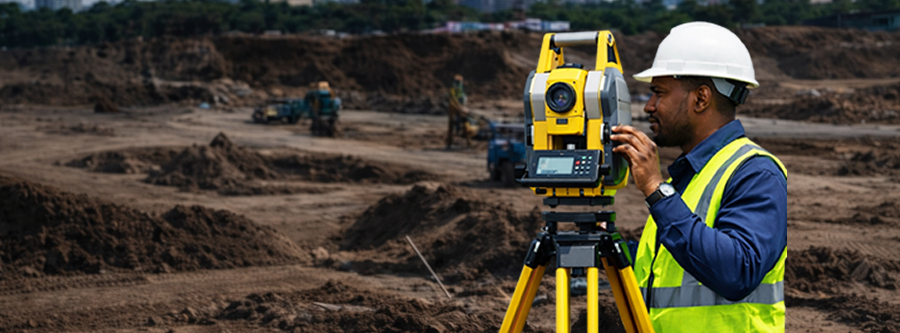
Accurate GIS Mapping.
Spatial Intelligence.
Reliable Location Insights.
Request Proposal

Land Surveying
Boundary, cadastral, topographic, engineering, route, hydrographic and as-built surveys.

Engineering and Construction
Construction staking, setting, site supervision, infrastructure support and engineering execution.

GIS and Mapping
Geospatial data acquisition, spatial analysis, digital mapping, UAV/drone mapping and database development.

Project Consultancy
Project planning, feasibility studies, technical advisory, procurement support and project management.

Surveying Instrument Solutions
Sales, leasing, calibration, training, maintenance and technical support for surveying instruments.
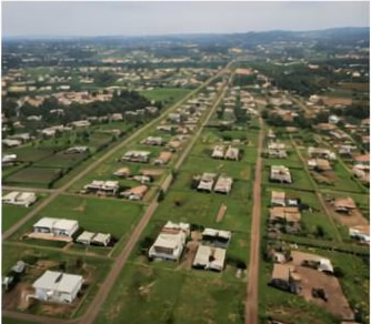
Residential Layout
Location: Old Educational Zone, Ibadan, Oyo State Client: Office of the Surveyor General
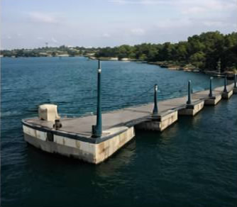
Bathymetric Survey
Location: Lagos Ferry Jetties, Lagos State Client: Ambergo Global Resources Ltd.
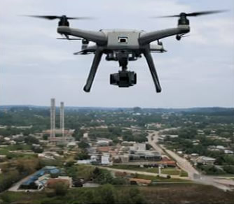
UAV Mapping & Topographic
Location: FHA Estate Ajoda, Ibadan, Oyo State Client: Federal Housing Authority
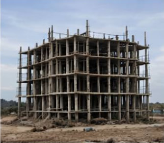
Setting Out – 7 Floor Hotel Construction
Location: Oyo State Client: FBS Construction Ltd.

Real Estate

Infrastructure

Agriculture

Mining

Oil & Gas

Government